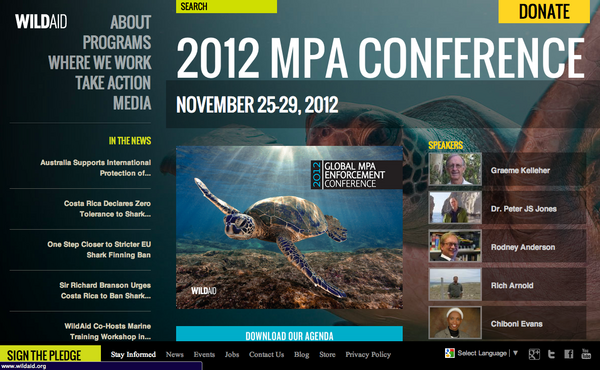
Today, I will be up in San Francisco at the WildAid 2012
Marine Protected Area (MPA) Conference. Jenifer and I will be
presenting in the morning session today.
Image may be NSFW.
Clik here to view.
The title is a little overly specific. If you are at the conference feel free to talk to me about anything you would like.
Image may be NSFW.
Clik here to view.

The title is a little overly specific. If you are at the conference feel free to talk to me about anything you would like.
Applying Google's free mapping technology to enforcement and how NOAA
success- fully uses it to track fishing operations in Hawaii.
The morning program:
TECHNOLOGY OVERVIEW - Oswaldo Rosero, WildAid
SUSTAINABLE EQUIPMENT AND MAINTENANCE - Rich Arnold, Harkcon
IMIS GLOBAL: MARINE SOFTWARE INTEGRATION - Ernie Batty, IMIS Global Limited
ORBCOMM: AUTOMATED IDENTIFICATION SYSTEMS (AIS) - Andrew Loretta
CLS: SATELLITE VESSEL MONITORING SYSTEMS (SVMS) - Michael Kelly, CLS America Inc.
IMIS GLOBAL: CASE STUDIES - Ernie Batty, IMIS Global Limited
GOOGLE OCEAN PROJECT - Jenifer Foulkes and Kurt Schwehr
