It's great to see that work continues at CCOM on this topic:
![CCOM large display]()
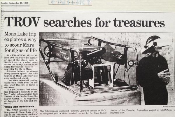
Back in 1990, I got to tour Scott Fisher's virtual reality lab at NASA Ames. After working on the Telepresence-ROV (TROV) vehicle in 1992, I was hooked on the idea of what might come when head mounted displays weren't so heavy that they quickly made your neck hurt and didn't require a 5kW generator.
Hiking around the Southern Snake Range doing geologic mapping, I dreamed of devices that would sync up the mapping via hill top repeaters (yeah, I had a HAM license). Why waiting until the evening to all copy our data to the master mylar sheet? And if we could capture field photos throughout the day, we could share best photos of geologic units and particular features as we discovered them. Instead, I had to wait to get back to civilization to develop physical film.
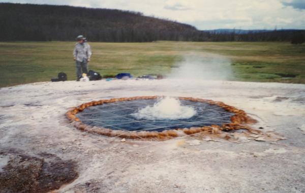
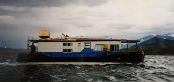
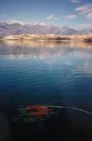
The next couple years, I had visions of laser range finders, stereo cameras and mapping tablets as I worked in Yellowstone mapping hot springs and in Mono Lake trying to get the TROV to do useful science. Perhaps more scientists would take notes in the field if they were wearing Google Glass and could just speak their observations.
I did quite a bit at SIO in the 2002-2005 range with a 21 foot by 8 foot curved display and then when I got to CCOM in 2005, I proposed hand held and head mounted augemented reality and heads up displays. I got CCOM to pony up for the first smart phone bought on the NOAA grant (an iPhone 3S for me).
Roland and Tom have been doing some really neat development at CCOM and it should be fun to see what comes.
Some images from the first half of the 1990's that triggered some of my thinking on wearable / portable devices and how they might help people work in the real world. If only GPS SA had been off back then!
Sorry about the quality of the images.
![Mapping a hot spring in Yellowstone]()
![TROV in the news paper]()
![house boat on mono lake]()
![TROV in Mono Lake]()
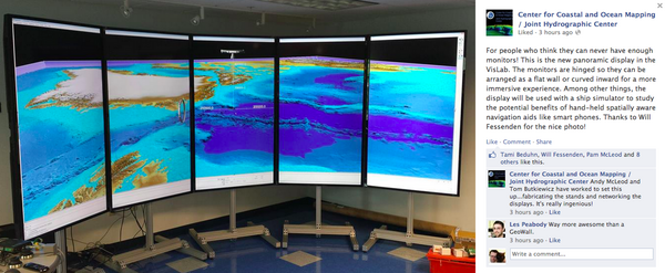
For people who think they can never have enough monitors! This is
the new panoramic display in the VisLab. The monitors are hinged so
they can be arranged as a flat wall or curved inward for a more
immersive experience. Among other things, the display will be used
with a ship simulator to study the potential benefits of hand-held
spatially aware navigation aids like smart phones. Thanks to Will
Fessenden for the nice photo!
Back in 1990, I got to tour Scott Fisher's virtual reality lab at NASA Ames. After working on the Telepresence-ROV (TROV) vehicle in 1992, I was hooked on the idea of what might come when head mounted displays weren't so heavy that they quickly made your neck hurt and didn't require a 5kW generator.
Hiking around the Southern Snake Range doing geologic mapping, I dreamed of devices that would sync up the mapping via hill top repeaters (yeah, I had a HAM license). Why waiting until the evening to all copy our data to the master mylar sheet? And if we could capture field photos throughout the day, we could share best photos of geologic units and particular features as we discovered them. Instead, I had to wait to get back to civilization to develop physical film.
The next couple years, I had visions of laser range finders, stereo cameras and mapping tablets as I worked in Yellowstone mapping hot springs and in Mono Lake trying to get the TROV to do useful science. Perhaps more scientists would take notes in the field if they were wearing Google Glass and could just speak their observations.
I did quite a bit at SIO in the 2002-2005 range with a 21 foot by 8 foot curved display and then when I got to CCOM in 2005, I proposed hand held and head mounted augemented reality and heads up displays. I got CCOM to pony up for the first smart phone bought on the NOAA grant (an iPhone 3S for me).
Roland and Tom have been doing some really neat development at CCOM and it should be fun to see what comes.
Some images from the first half of the 1990's that triggered some of my thinking on wearable / portable devices and how they might help people work in the real world. If only GPS SA had been off back then!
Sorry about the quality of the images.
